
Industry
Environment and Natural Resources Solutions
Leveraging remote sensing and spatial technology to preserve ecosystems and build climate resilience.
12 solutions available
About Environment and Natural Resources
Protecting biodiversity, managing natural resources, and mitigating climate change require action based on high-resolution data and geospatial intelligence. T4D provides environmental monitoring platforms, remote sensing analytics, and climate risk assessment tools.
Key Offerings & Capabilities
- GIS & Remote Sensing Environmental Monitoring: Satellite imagery analysis for deforestation tracking, land degradation mapping, and forest canopy monitoring.
- Climate Action & Carbon Tracking: Measurement, Reporting, and Verification (MRV) systems for carbon offset projects and climate finance accountability.
- Biodiversity & Wildlife Data Systems: Species tracking databases, protected area management software, and conservation spatial planning tools.
- Environmental Impact & Disaster Risk Modeling: GIS spatial models for flood mapping, drought forecasting, and natural disaster emergency response.
Who We Support
We empower forestry departments, environmental protection agencies, conservation NGOs, carbon project developers, and climate research institutions.
Mobile Data Collection Applications
Offline-capable field data collection systems built for the environments where development happens
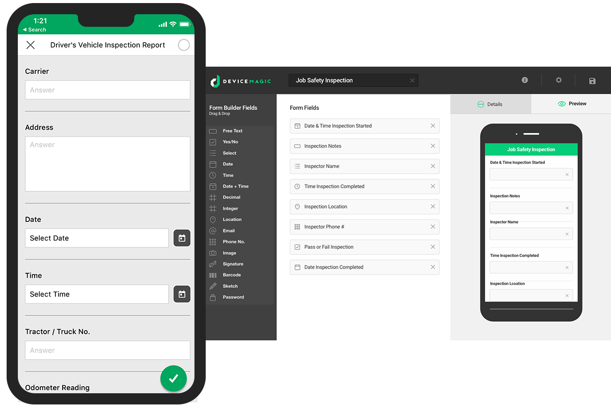
Mobile Data Collection Application
Offline-capable field data collection systems built for the environments where development happens

GIS & Spatial Analysis
Geographic intelligence for program planning, resource allocation, and field operations
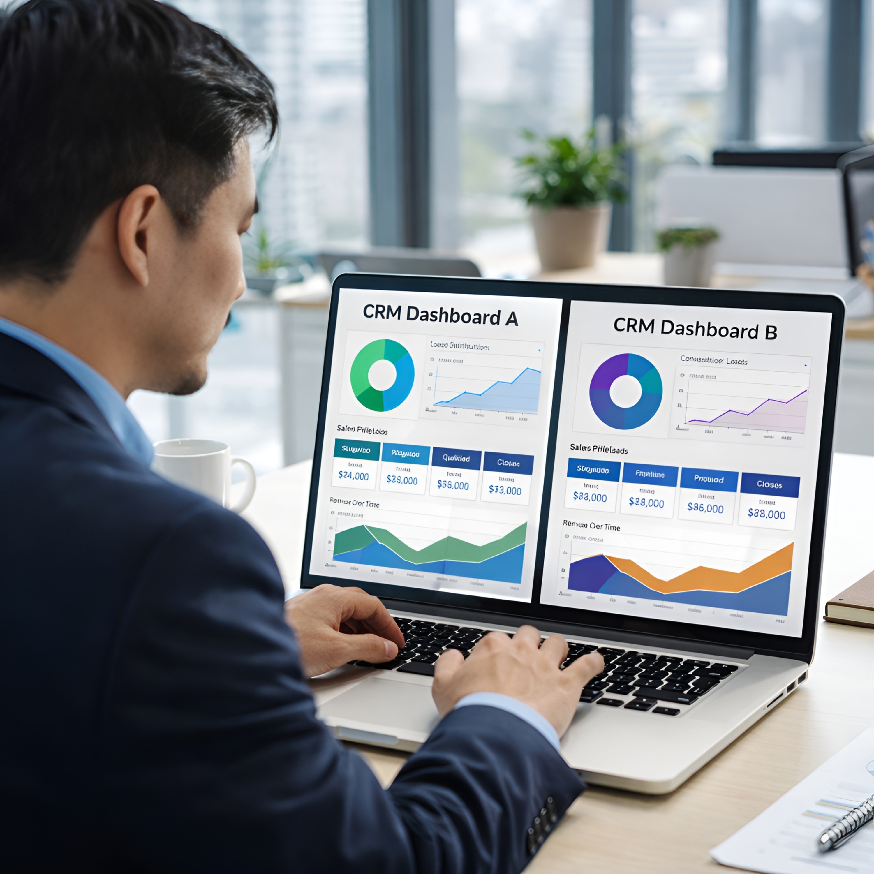
Data Visualization, Dashboards & Reporting
Transforming raw data into decision-ready insight for programs, management, and donors

Project, Program & Impact Management Training
Results-based management, M&E design, and adaptive management for development professionals

Data Analytics & AI Training
Building data literacy and AI proficiency from foundations through advanced application
Mobile Data Collection Training & Certification
Hands-on, field-ready training on ODK, KoboToolbox, and mobile data platforms

Website Development
Strategic websites built for conversion, SEO, and long-term content governance

M&E Systems Development
Results management platforms built to donor standards and operational reality

Account-Based Marketing (ABM) for Institutional Clients
Structured pursuit of high-value institutional relationships : donors, governments, and multilaterals

AI Annotation, Tagging & Data Labelling
Structured, quality-controlled training data programs that make your AI reliable

Machine Learning & Predictive Analytics
Custom ML models that turn your operational data into actionable predictions